Guilin Facts
English Name: Guilin
Chinese Name: 桂林 guì lín
Location: in the northeast of Guangxi, China
Area: 27800 square kilometers
Population: 4.95 million (2022)
Nationality: Zhuang, Dong, Yao, Miao, Tujia, Hui, Jing, Yi,Shui, Man,Han
Administrative: 6 districts, namely Xiufeng District, Diecai District, Xiangshan District, Qixing District, Yanshan District, and Lingui District, 10 counties including Yangshuo County, Lingchuan County, Quanzhou County, Xing'an County, Yongfu County, Guanyang County, Longsheng Ethnic Autonomous County, Resource County, Pingle County, and Gongcheng Yao Autonomous County, 1 county-level city, namely Lipu City.
Guilin City is located in the alluvial plain of the Li River Valley,in the northeast of Guangxi Zhuang Autonomous Region of south China. Referred to as "Gui" for short, Guilin is not only a prefecture level city butt also a provincial sub central city under the jurisdiction of Guangxi Zhuang Autonomous Region.
Situated in southern China, at the southern end of the Xiang Gui Corridor, in the southwest of the the Nanling Mountain Mountains, in the middle of the northern end of the Guilin Yangshuo Karst Basin, and in the "Xiang Gui Road", Guilin has a subtropical monsoon climate, with a total area of 27800 square kilometers. As of the end of 2022, the permanent population of Guilin City was 4.95 million.
Guilin is a famous tourist destination in China that both domestic and foreign tourists are eager for, and it is also one of the international tourist cities approved by the State Council for China's opening-up to the outside world.
History of Guilin
In the Tang Dynasty (618-907), the city of Guilin Prefecture was built by taking advantage of the confluence of the Li River and the Yang River (now known as the Taohua River) to form a city outline. The Li River and Yang River channels from east to west formed a waterproof system for the city, while the mountains such as Diecai Hill and Baoji Hill were used to build a land-based city defense to the north, guarding the Jiacheng and Zicheng, objectively forming a city pattern surrounded by mountains and rivers.

In the Song Dynasty, cities were built by chiseling ponds along mountains and rivers, and street markets were built, forming the existing urban lake water system (Song moat) and core land use pattern.
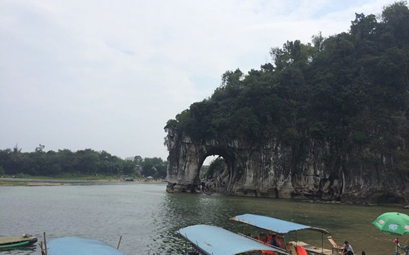
In the Ming Dynasty(1368-1644), with Diecai Hill and Elephant Trunk Hillas the urban axis and Duxiu Peak as the core, the Jingjiang King City was built, and the urban form of integrating urban scenery was basically formed.
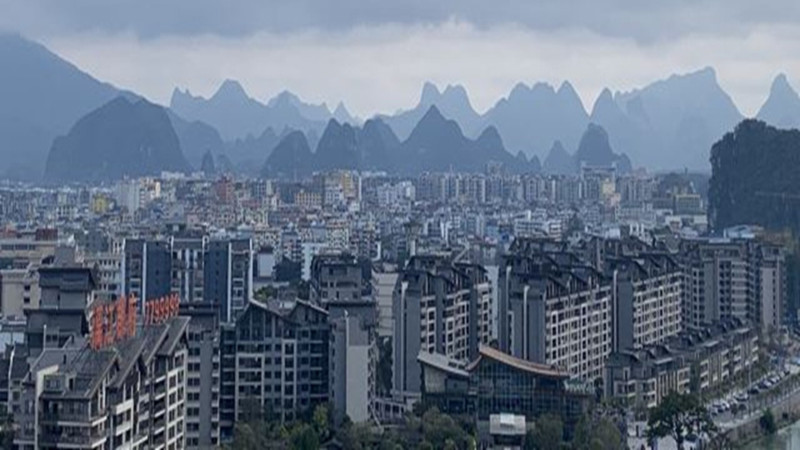
The urban roads in Guilin often have a scenic relationship with the mountains in the urban area, forming a winding and distinctive road shape. The roads and waterways along the rivers and lakes are in a harmonious relationship, making the neighborhoods facing the water interesting and changing. The combination of mountain light, water color, countryside, and city walls cleverly creates a unique spatial pattern and structural form. The city is within the scenery, and the scenery is within the city, forming a harmonious urban form of Guilin's "mountain water city".
Geography of Guilin
Location of Guilin: Located in the southwest of the the Nanling Mountain Mountains, the southern end of the Xiang Gui Corridor, and the northeast of Guangxi Zhuang Autonomous Region, Guilin is 109 ° 36 ′ 50 ″ -111 ° 29 ′ 30 ″ E, 24 ° 15 ′ 23 ″ -26 ° 23 ′ 30 ″ N, 236 kilometers long from north to south, and 189 kilometers wide from east to west. It borders Hunan Province in the north and northeast, Hezhou City in the southeast, Wuzhou City and Laibin City in the south, and Liuzhou City in the west and southwest, with a total area of 27800 square kilometers, accounting for 11.74% of the total area of Guangxi Zhuang Autonomous Region.
Topographic Features of Guilin: Guilin is located in the southwest of the Nanling Mountains and the middle of the northern end of Guilin-Yangshuo Karst Basin, in the "Hunan Guangxi Corridor". Its terrain is higher in the west, north, and southeast, and lower in the middle.

Guilin has a wide distribution of mountains and basins. There are many peaks above an altitude of 1000 meters, and the main peak of Yuechengling, Mao'er Mountain, has an altitude of 2141.5 meters and is the highest peak in South China. Pingle County has an altitude as low as 97 meters, which is the lowest in Guilin City.
The relative height difference between peaks and basins is 600-1600 meters, with a slope of 20 ° -45 °. The east and west sides of Guilin city are characterized by low mountain and hilly terrain, with an elevation of 300-600 meters and a relative height difference of 200-300 meters; The north and south ends of Guilin city are low and gentle hills. Ganglong Hill terrain, with an elevation of 160-200 meters and a relative height difference of 10-20 meters, is characterized by typical karst landforms in the middle.
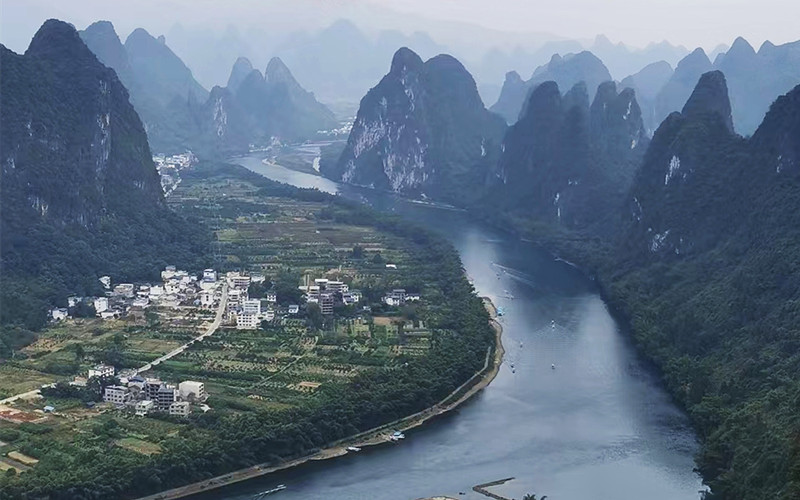
The peaks are unique and beautiful, presenting karst peak forests, open and flat isolated peak plains, and river valley terraces. The ground elevation is 150-160 meters, and the peak elevation is 200-300 meters.
Hydrology of Guilin: Guilin City is located in the Gui River Basin, a tributary of the Xi River, with a catchment area of 19288 square kilometers. Li River and Xiang River in the upper reaches of the Gui River are connected by a canal (Lingqu Canal).

Li River Basin covers an area of 12565 square kilometers, with a main stream length of 295.27 kilometers. The measured average annual runoff is 12.895 billion cubic meters, and the average annual flow is 408.9 cubic meters per second. The Majiang Station in the lower reaches of the Gui River has an average annual runoff of 17.5 billion cubic meters; The flood season flow is 14.52 billion cubic meters, accounting for 81% of the annual runoff; The average sediment concentration is 0.13 kilograms per cubic meter, and the erosion modulus is 129 tons per square kilometer. Li River meanders from north to south, with its main tributaries including the Taohua River, Xiaodong River, Nanxi River, Liangfeng River (Xiangsi River), and Ningyuan River. The tributaries of the Yangtze River system are distributed in the resource counties in the northeast of the city, with a drainage area of 8283 square kilometers, accounting for 3.5% of the total area of Guangxi.
There are 30 rivers with a drainage area of over 50 square kilometers, with a total runoff of 9.31 billion cubic meters, accounting for 5% of the total runoff in the region, and a runoff depth of 1124 millimeters; The main rivers include the Xiangjiang River and Zishui River, which flow into Dongting Lake in Hunan and return to the Yangtze River.
Climate & Weather of Guilin
Guilin City is located in low latitudes and has a subtropical monsoon climate. The climate within the territory is mild, with abundant rainfall, long frost free period, sufficient sunlight, and abundant heat. Summer is long and winter is short, with distinct four seasons and almost the same rainy and hot seasons. The climate conditions are very favorable.
Guilin has less snow in winter and frequent flowers throughout the four seasons. The average annual temperature from 1981 to 2010 was close to 19.1°C. July and August are the hottest months with an average temperature of around 28°C, while January and February are the coldest months with an average temperature of around 9 °C. The lowest temperature occasionally drops below 0°C, with an average annual precipitation of 166 days and the longest continuous precipitation of 30 days.
The average annual rainfall is 1887.6 millimeters, and the average relative humidity is 76%. The wind direction throughout the year is mainly northerly, with an average wind speed of 2.2-2.7 meters per second. The average annual sunshine hours are 1447.1 hours, and the average air pressure is 995.1 hectopascals.
Natural Resources of Guilin
Guilin City has abundant forest resources and a wide variety of tree species. There are 249 families and 1103 genera of vascular plants in the city, with over 2000 known higher plants in the area. Tree species resources include timber forests, economic forests, bamboo, protective forests (including water source forests), green tree species, and stone mountain tree species, among which silver cedar and fern are national first-class protected plants. Forest by-product resources include pine resin, raw materials for baking gum, dried fruits, mushrooms, agaric, brown peel, siraitia grosvenorii, etc.
Guilin City has a wide variety of wild animals, including approximately 545 species of terrestrial vertebrate wildlife, including 36 species of amphibians, 58 species of reptiles, 375 species of birds, and 76 species of mammals. 69 species of rare and endangered animals under national key protection, including seven first-class national key protected animals: yellow bellied pheasant, white necked long tailed pheasant, golden eagle, python, leopard, clouded leopard, and forest musk deer.
Guilin City has discovered 48 types of mineral resources that can be utilized, of which 40 have been identified as having certain resource reserves and are being developed and utilized. Among the minerals identified for resource reserves, 17 are among the top in the region. Among them, the quality of talc ore ranks among the top in the world, and the proven resource reserves rank among the top in the country; Lead zinc, niobium tantalum, granite, limestone, marble, barite, mineral water and other resources have good prospects; Talc, marble, granite, limestone, fluorite, mineral water, and chicken blood stone have great development potential.
In short, Guilin is a world-renowned scenic tourist city and a historic and cultural city. It not only boasts stunning landscape and cultural heritage, but also captivates people with its diverse ethnic customs.
Welcome to Guilin !
